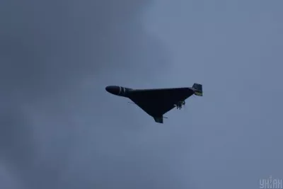

Air alerts have become an integral part of Ukrainians' lives since the full-scale invasion by Russia began. To provide up-to-date information about threats from the sky, several interactive online maps have been created, allowing real-time tracking of air alerts in different regions of Ukraine.
Interactive Maps and Apps
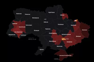
Virtually all available online air alert maps are updated every 15-25 seconds, enabling users to instantly find out the status of sirens across the country. For example, an online map by developer Vadym Klymenko is available at this link: here. Additionally, a map from the Ukrainian office of ArgoPrep can be viewed on their website.
These maps not only show places where sirens are activated but also highlight areas of increased attention. Moreover, they identify regions with potential chemical hazards, marked by corresponding colors: yellow, pink, red, and others.
Convenience and Accessibility
For users who prefer mobile applications, "Ajax Systems" in collaboration with "Stfalcon" has developed a convenient app called "Air Alert". It is available for download on Google Play and the App Store and allows users to receive notifications about the activation and deactivation of sirens in a selected area or city.
New Approaches to Notification
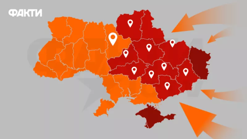
Ukrainian Prime Minister Yulia Svyrydenko announced the implementation of district-level air alert notifications, which significantly reduces alert duration in unaffected communities, thereby aiding business operations and ensuring the functioning of critical infrastructure.
This system has already proven effective in the Dnipropetrovsk region and other areas, reducing the number of days without alerts and improving response speed.
Thus, interactive air alert maps and new approaches to their announcements help Ukrainians protect themselves from aerial threats and provide quicker and more precise danger notifications.