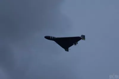

The constant threat from the air has forced Ukrainians to seek reliable ways to learn about air alarms in all corners of the country. From now on, this becomes much simpler thanks to online maps that allow checking the siren status with minimal delay.
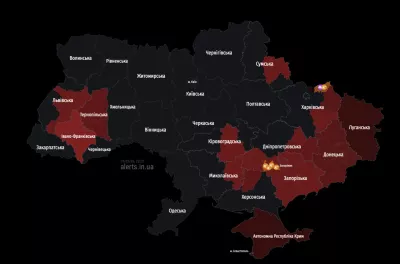
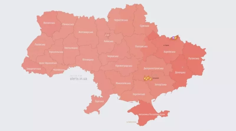
Online air alarm maps in Ukraine allow real-time viewing of information about the activation and deactivation of sirens in all regions. All it takes is one click to access up-to-date information. The maps automatically update every 15-20 seconds, allowing users to stay informed about the current situation.
This service was created through the efforts of three Ukrainian developers, as reported by the Center for Countering Disinformation at the National Security and Defense Council of Ukraine. Access to the maps is possible through a series of reliable resources, including developments by Vadym Klymenko, ArgoPrep, and others.
A New Approach to Alerts
In addition to online maps, a new approach to announcing air alarms is being implemented in Ukraine — district-specific alerts. According to Prime Minister Yulia Svyrydenko, this will help reduce the duration of alarms in communities where there is no real threat. This initiative has already been successfully tested in 13 regions and is now expanded to all areas except Donetsk and Luhansk.
During the implementation of the new approach, the Dnipropetrovsk region experienced a significant reduction in alarm duration, allowing citizens and businesses to better adapt to war conditions.
Mobile Applications
Additionally, to support Ukrainians in critical situations, companies Ajax Systems and Stfalcon have developed a mobile application "Air Alarm," which allows receiving siren alerts with the choice of a specific region or city. It is available for download on Google Play and the App Store.
Ukraine, going through difficult times, adapts and implements technological solutions that simplify life for its citizens and enhance their safety.