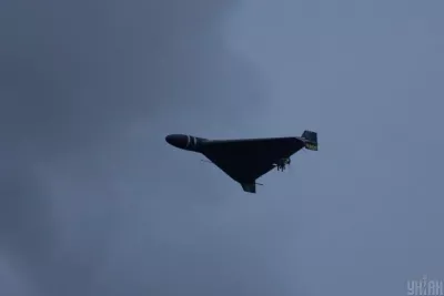

In the context of the ongoing conflict in Ukraine, the air raid map has become an indispensable tool for citizens. Since the onset of Russia's full-scale invasion, alarm signals warn Ukrainians about potential dangers from the air.
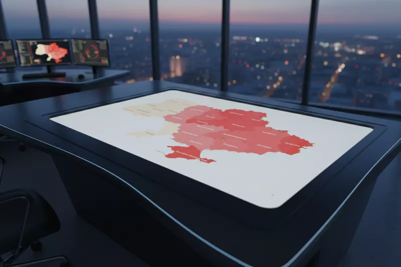
Online Air Raid Maps
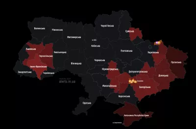
Today, there are several interactive online maps that help track the situation with air attacks. The most well-known of them include:
- Official “Air Raid” Map: This map displays all regions where alarms have been announced, as well as areas of chemical danger. The map updates every 25 seconds.
- Ukraine Siren Map: This alternative also provides information on alarms, updating every 15 seconds.
- Independent Map “kopiyka.org”: Offers the option to enable sound notifications for a specific region.
Danger Notifications
According to information, these maps operate based on data from the “Air Raid” channel on Telegram. Citizens can monitor the situation in real-time since the alarm signal usually indicates a threat of missile strikes.
Conditional Designations
Each region is marked with specific colors that indicate the level of danger:
- Yellow - increased caution
- Green - chemical danger
- Light pink - air raid alarm in the city
- Dark pink - alarm in the district
- Red - alarm in the region
Thus, the use of online air raid maps in Ukraine provides vital information that can save lives and ensure the safety of citizens in times of war.