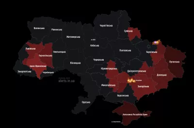

Overview of Interactive Air Raid Maps
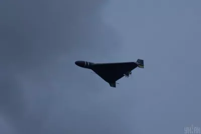
During the full-scale war, Ukrainians daily use special online maps that help track potential missile attack threats in real-time.
Features of Online Air Raid Maps
Currently, there are several official and independent interactive maps that provide up-to-date information about the air situation in different regions of Ukraine:
- Map updates every 15-25 seconds
- Uses color indication to mark danger levels
- Available through web services and mobile apps
Map Legends
Main colors and their meanings:
- Red – air raid alert
- Green – no alert
- Orange – heightened attention
- Gray – no information
Additional markings include information about chemical hazards and local alert zones: cities, communities, districts, and regions.
Available Services
Among popular maps are official online resources and independent services, such as:
- Official Air Raid Map
- Map of Sirens of Ukraine
- Independent map kopiyka.org
Most maps offer additional features: sound notifications, settings for specific regions, dark/light interface modes.